
Our Services
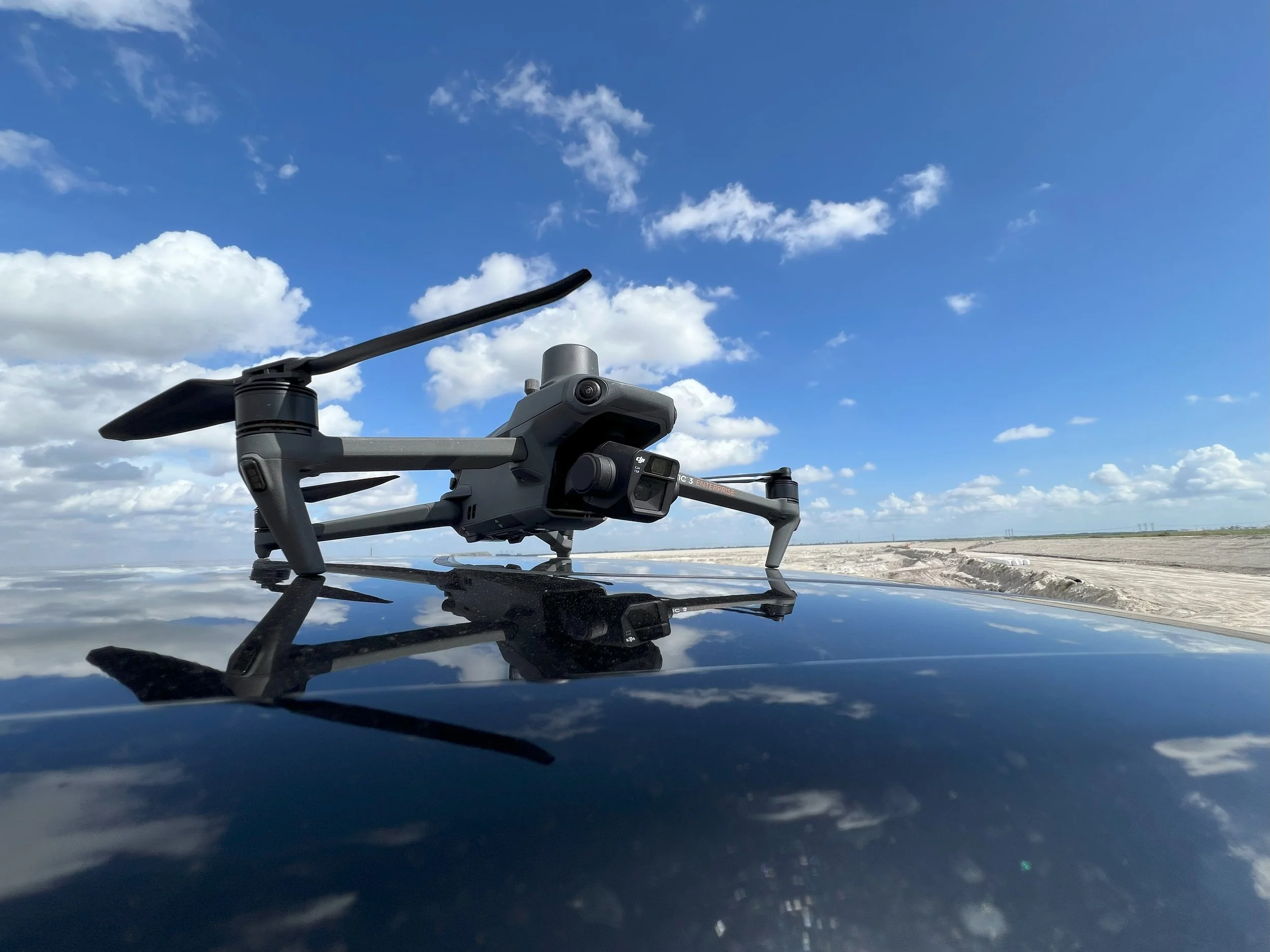
At Just Drone It LLC, we turn the sky into a tool for your success. Our professional aerial services provide a unique and powerful perspective, delivering high-quality visual data for both residential and commercial clients. We don't just fly drones; we capture stunning visuals and create accurate, actionable data that helps you save time, reduce costs, and make smarter decisions.
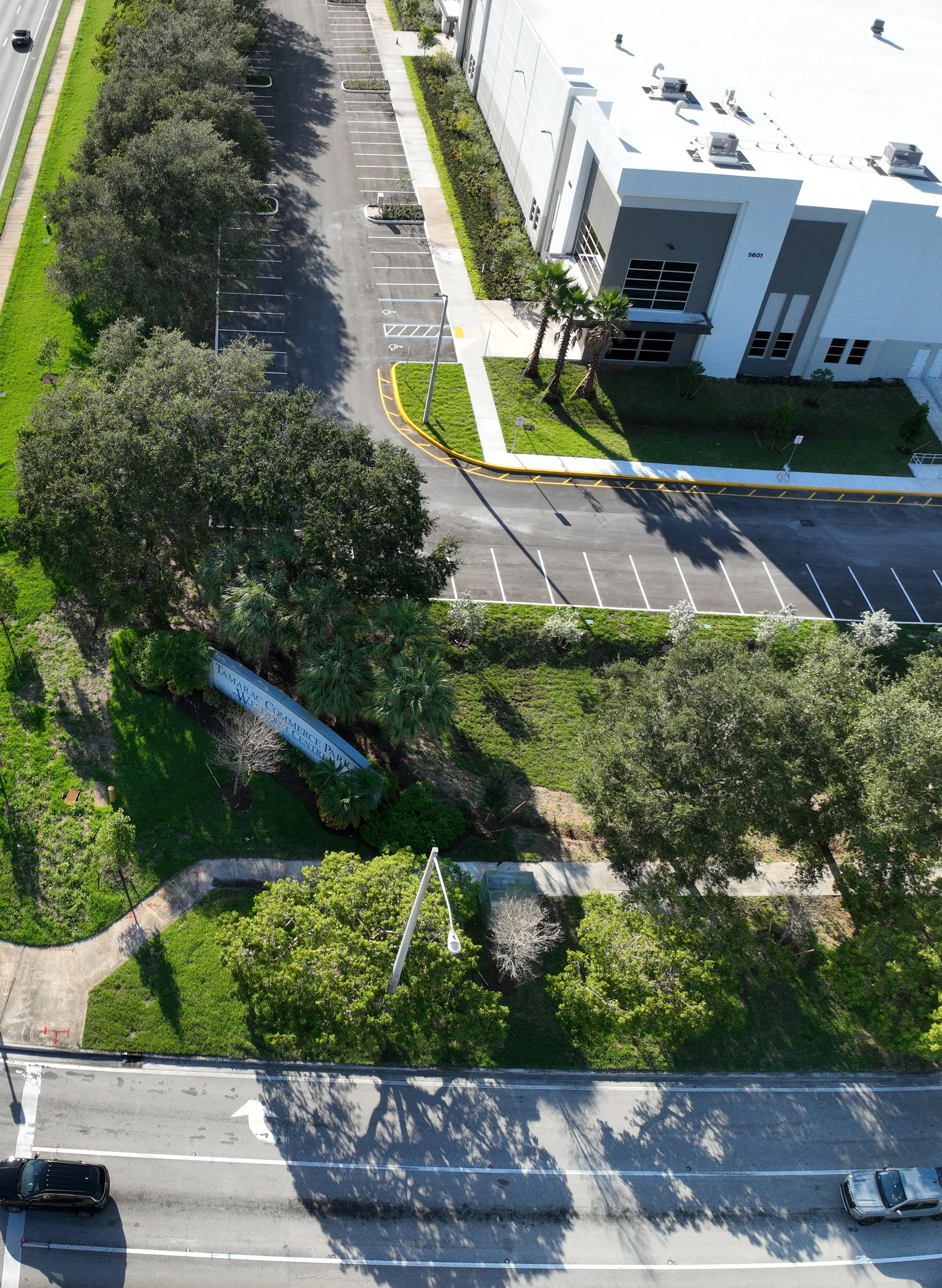
Aerial Photography & Videography
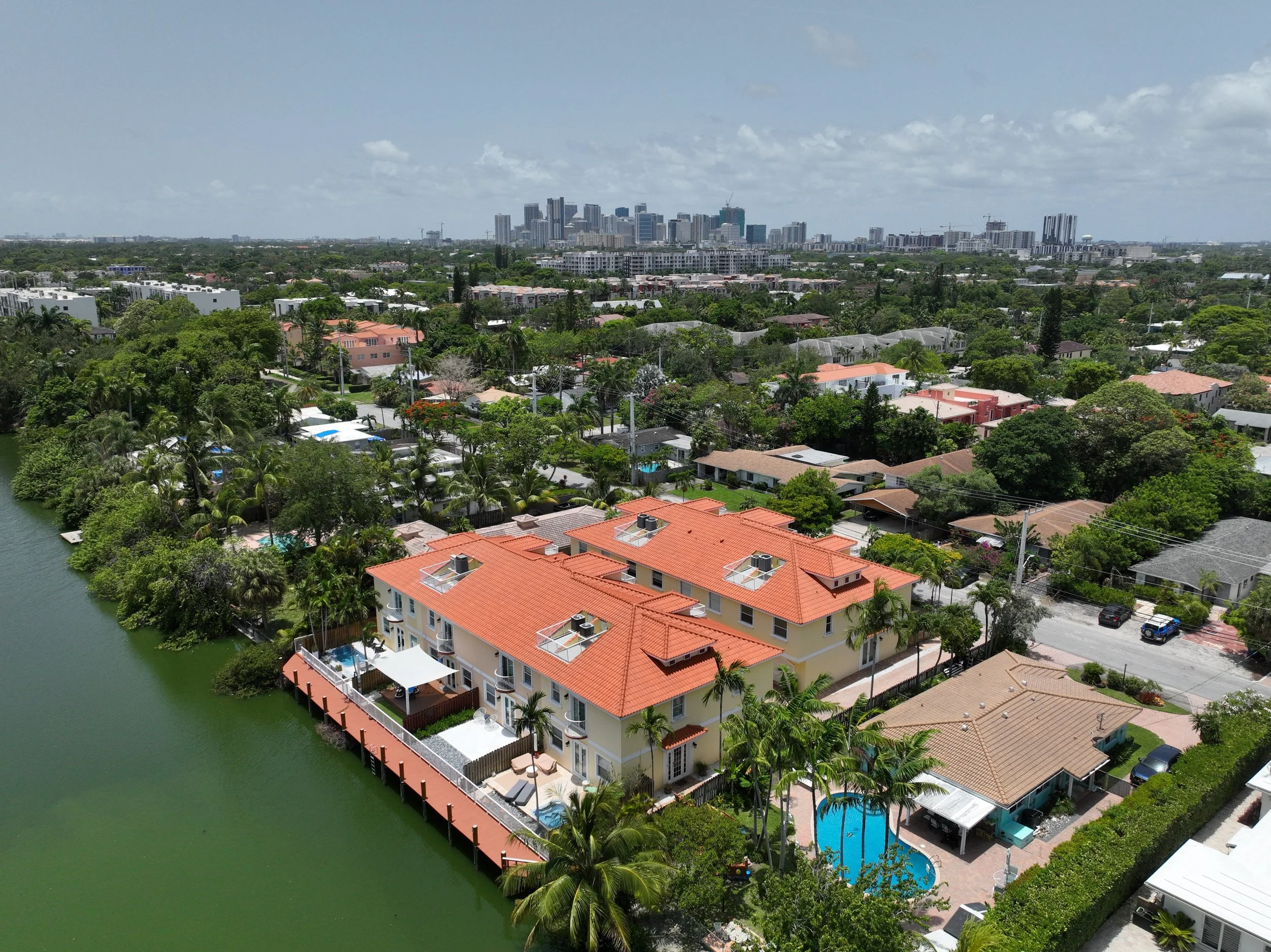
Elevate your project with breathtaking visuals. We specialize in capturing high-resolution photos and smooth, cinematic video for a variety of needs. Whether you're a real estate agent looking to showcase a property, a business owner needing promotional content, or an individual wanting to document a special event, we deliver stunning imagery that makes an impact.
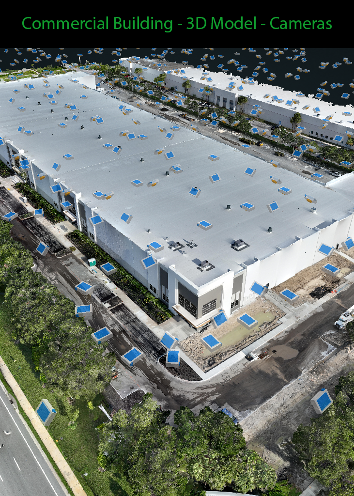
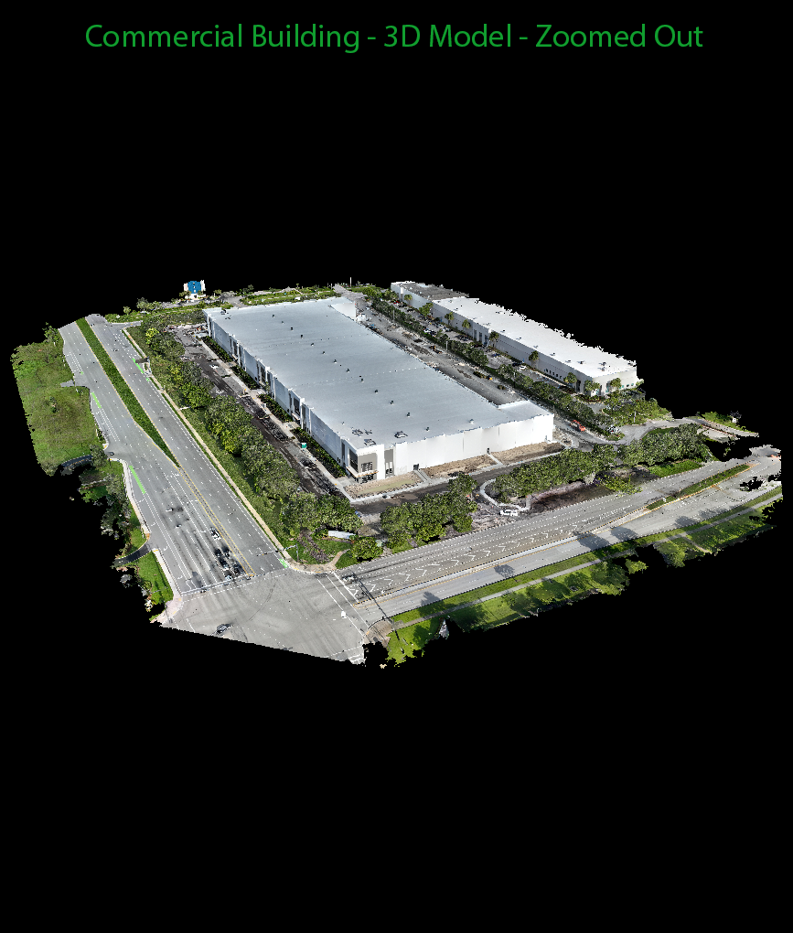
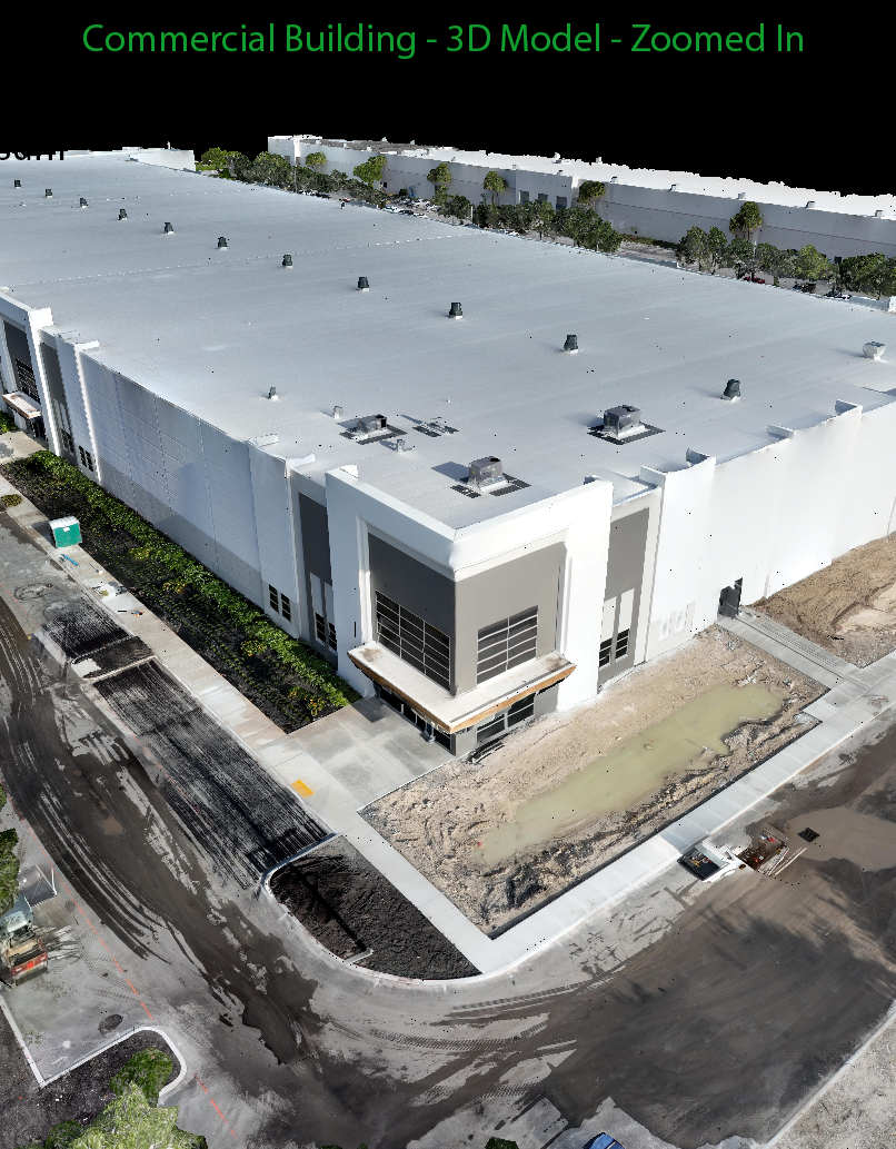
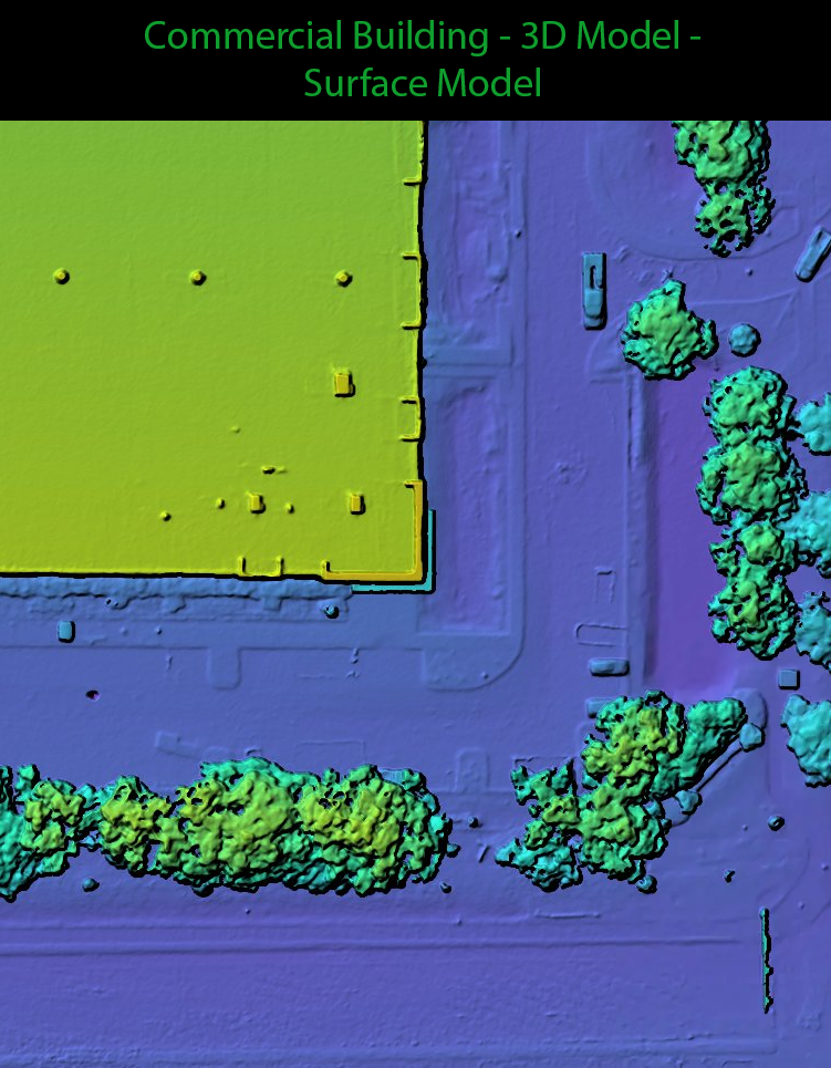
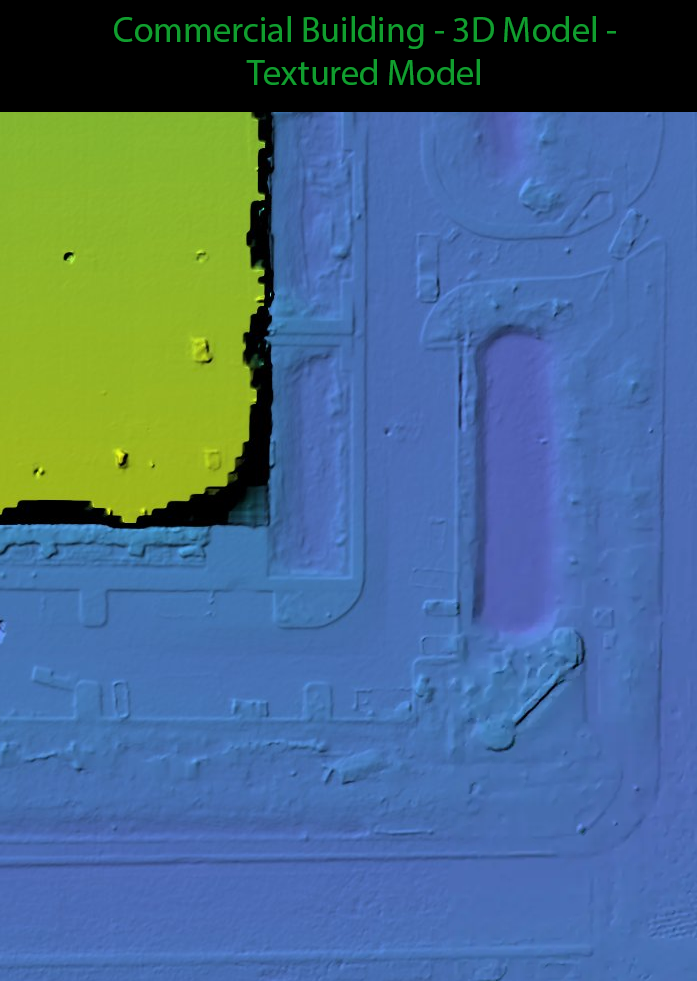
Photogrammetry & 3D Mapping
Go beyond simple photos with our advanced photogrammetry services. We transform aerial images into precise 2D orthomosaics and 3D models. These detailed maps and models are invaluable for:
Construction: Monitor progress, track changes, and perform volume calculations with incredible accuracy.
Inspections: Safely inspect roofs, towers, and other structures without putting people at risk.
Surveying: Get accurate measurements and create detailed site plans for land development and other projects.
Custom Solutions
Every project is unique, and so are our solutions. If you have a specific need not listed here, just ask! We're experienced in developing tailored drone solutions to meet your specific requirements, delivering the exact data you need, when you need it.
No matter the project, you can trust Just Drone It LLC to deliver professional results safely and efficiently. We're ready to help you see the world from a new angle and bring your vision to life.


Contact us
Interested in working together? Fill out some info and we will be in touch shortly. We can’t wait to hear from you!